PICTORIAL EXPLAINER: HISTORY, CONTROVERSY, AND WHY THE WORLD MAP MATTERS
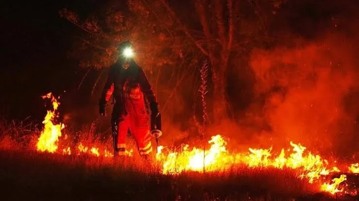
As the climate changes, wildfires are becoming more frequent and intense around the world. | STOCK
“Maps shape our understanding of the world. They guide education, nourish the imagination, and influence collective perceptions.”
—Robert Dussey, Foreign Minister, Togo
The Mercator projection is what we all imagine the world to look like. That has been the case for the past five centuries. Even Google Maps uses the Mercator projection.
The jury is still out on whether this could finally change after last week’s UN vote to replace this world map with a ‘more accurate’ version.
This resolution has been described as an act of “cognitive justice and memorial reparation’’ and a shift towards fairness and equity to ensure that Africa is depicted correctly on the global stage.
Skewed: Inside a 450-year Legacy
The world map, as we know it today, was designed by Gerardus Mercator in 1569 to help European sailors navigate the world’s oceans and seas. At the time, people moved around the world exclusively by sea, as there were no aeroplanes. The first commercial aeroplane would not fly until 345 years later, in 1914.
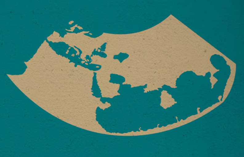
Roman geographer and astronomer Claudius Ptolemy was the first cartographer to use latitude and longitude in mapping, based on his astronomical observations. Shown here is the map of the world created by him in 150 AD. | World Economic Forum
‘‘He wanted a straight line to be drawn on a map to look like a straight line in reality if you followed a compass bearing. That was what it was intended to do, and that’s what it does brilliantly well,’’ explains Prof James Cheshire of University College London.
For nearly half a millennium, humans have come to understand the relationship between the world’s water bodies and land masses through this projection.
Who is Gerardus Mercator?
Mercator (1512-1594) was a Flemish national and cartographer born in Germany. A cartographer is a professional who designs, creates, and updates maps and atlases.
The world map is named after him. It’s also he who originated the word ‘atlas’ – a book of maps.
Visual Bias or Serious Justice Issue?
While the original purpose of the Mercator representation was to ease navigation, the map has become the gold standard for what our planet looks like.
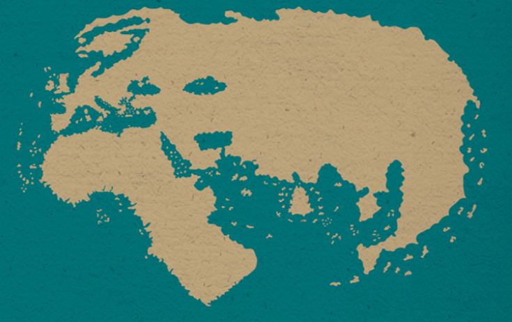
A major milestone in mapping was achieved in 1489 when German cartographer Henricus Martellus plotted the Old World. He based his depiction on Marco Polo’s travels in Asia. | WEF
Kenyan geographer Kioko Muendo told the BBC that maps are more than guides for travellers. ‘‘They shape how regions are perceived politically and economically.’’
To Muendo, how a region is portrayed has implications for its resources, population, and opportunities.
Proponents of the Mercator projection argue that the distortion results from the inability to accurately represent the Earth’s surface on a two-dimensional piece of paper.
The world map is also about psychology. Togo’s minister Dussey captured it more succinctly: “A fair map does not change the geography of the world. It changes how we see the world.”
The Contention: Behind Togo’s ‘Correct the Map’ Push
Togo wanted the world map changed to correct severe geographic distortions in the traditional Mercator projection that make Africa look much smaller than its actual size.
One of Togo’s contentions centred on the geographic accuracy of the Mercator projection, which enlarges landmasses near the poles and shrinks regions near the equator, mostly Africa.
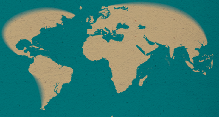
This 1529 official and ‘secret map’ by the Spanish Crown was developed by explorers based on ship logs from around the world. | WEF
In this distorted form, Greenland looks nearly the same size as Africa. In terms of actual area, the continent is 14 times larger than the polar country.
The African Union supported Togo’s push for a UN General Assembly resolution in the lead-up to the vote that saw 164 countries back the initiative for a more accurate world map.
Only the US voted against the push, dismissing it as part of a “radical ideological project.”
What the UN Vote Does and Doesn’t Do
The UN resolution encourages governments, schools, international organisations and technology companies to use the Equal Earth projection.
It also encourages institutions to recognise the limitations of a flat map in representing a spherical planet.
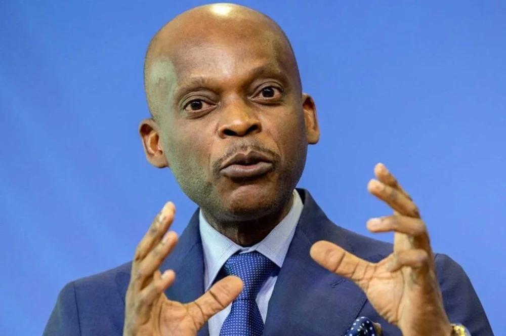
Togo’s Foreign Minister Robert Dussey led his country’s push for a UN resolution to replace the Mercator projection with a more accurate map and is, arguably, the face of the initiative. | STOCK
The resolution, however, does not ban the Mercator projection or impose its replacement.
Already, the 54 Member States have, as of February this year, adopted the Equal Earth projection, developed by a group of cartographers in 2018.
The Correct the Map campaign says the world has based its understanding of Africa, and the world, ‘‘on a map that is wrong’’.
‘‘You could fit the United States, China, India, Japan, Mexico and much of Europe into Africa and still have land to spare,’’ the campaign says in a statement on its website.
It now wants the world to correct the map by adopting the Equal Earth projection, which reflects the true size of Africa more accurately.